Address
5 Lakewood Road
Ashurst
Ashurst
Southampton
SO40 7DH
About Griffin Surveys Ltd
Griffin Surveys Ltd is a family run company based in the New Forest. We have been producing accurate and informative Hampshire Land Surveys since 1999. We use the latest surveying and GPS equipment to provide our clients with precise levels and coordinates relative to OS Grid.
We specialise not only in topographical surveys & land surveys but also floor plans and elevations, land registry plans, volumetric reports and machine control for site setting out, which is all produced on our CAD/LSS software to ensure it is displayed to a scale and format to suit our clients requirements. Experts in topographical surveys, boundary surveys & land surveys.
Why Choose Us?
We aim to use the latest technology, software and methods to accurately produce neat and informative surveys for our many and diverse Clients.
We use LSS software which is a powerful Windows-based Digital Terrain Modelling system capable of importing a wide range of 3D data, including raw land survey information from EDM or GPS instruments, CAD systems and user-definable coordinate formatted data.
Topographical Surveys
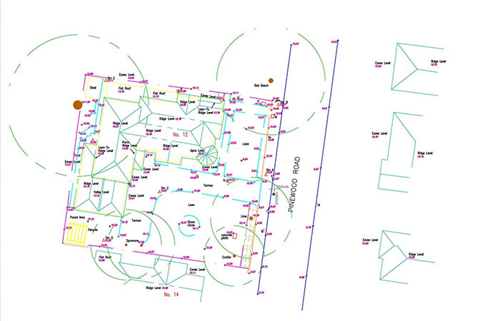
The starting point for all “land based” projects and designs. They provide critical data for the design and planning process. Topographical Surveys can range from greenfield sites, brownfield sites, residential and commercial sites, even Landfill sites.
As-Built Surveys
As a check for design conformity, roads, buildings and structures can be surveyed. This provides a check and sign off record. As-Built surveys can be undertaken as a Topographical Survey, Measured Building Survey, or overlaid onto original Engineering drawings.
Boundary Surveys
These can be undertaken as partitioning for lease agreements, new Land Registry plans, Checking and re-establishment of boundaries or boundary disputes.
Measured Building Surveys
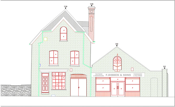
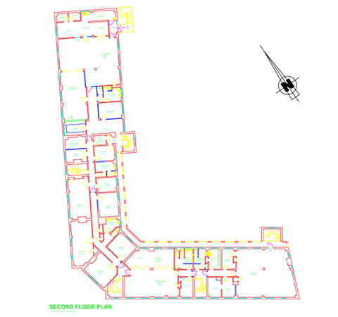
Measured Building Surveys consist of a wide range of measurement methods and data to help document and manage buildings and structures. This will include collecting floor plan measurements and storey heights and also the building elevation data encompassing street scenes.
Setting Out
Setting out is key part of the early stages of any construction project to establish the accurate positioning and level of the proposed development to comply with the local planning authorities.
Volumetric Reports
We can also provide volume calculations on large stockpiles of material. This data can be issued as a simple text report, or detailed digital terrain model, including sections.
Land Registry Plans
Scaled plans, used in conveyancing are provided to satisfy all the criteria set out by the Land Registry. Properties and/or plots of land can be accurately recorded and demised, in order to ascertain any changes to new or existing land.
Machine Control
3D CAD models are also produced for Construction Excavators rigged with their own on-board GPS systems to enable roads and sewers to be accurately constructed safely avoiding underground utilities.
Laser Scanning
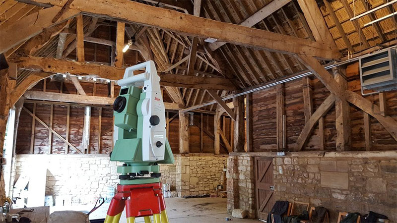
We can scan elevations or any surface and produce accurate point clouds in great detail all to a scale that is suitable for our clients needs
 UK
UK Ireland
 Scotland
 London

