Address
4 Vances Lane
Ballyhanwood Road
Ballyhanwood Road
Belfast
County Antrim
Northern Ireland
BT5 7SW
Northern Ireland
About MS MAPS Digital
"M&S Associates" Design MMT Building and Land Surveyors have been delivering Quality Solutions to clients and businesses for over 46 years.
We offer expertise in all aspects of Property/Land.
Since 1999 our Geomatics Division was formed "MS MAPS Digital" partner nationwide over 24 years.
Using the latest cutting edge software to allow us to expertly collate, model and manage your spatial data.
• Building Surveying, Pre-purchase equivalent to L2 / L3, Damp & Timber Surveys
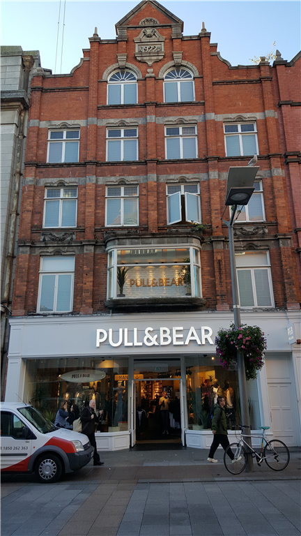
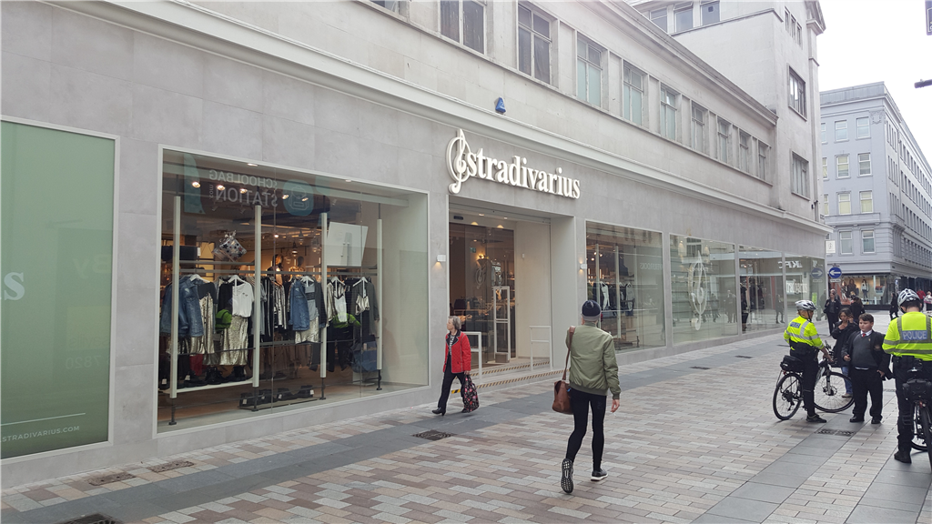
• CAD Measured Surveys, CAD Elevations, Sections & Layouts
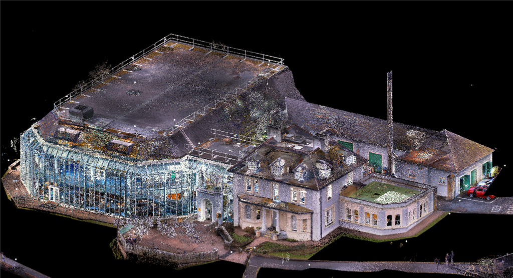
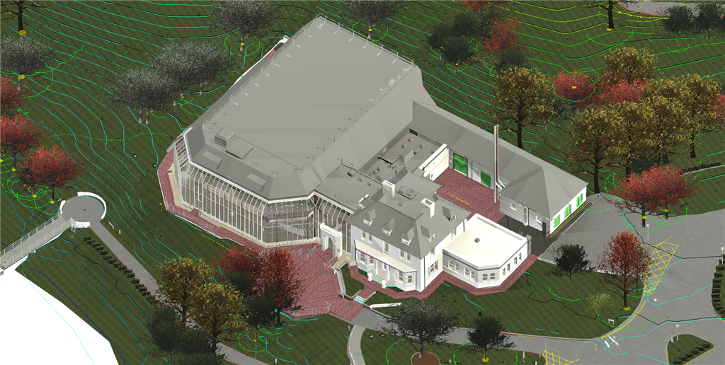
• SCAN to BIM experts - 3D Laser Scanning Services to Pointcloud.
• Topographical Level Surveys GPS & Totalstation.
• Boundary Surveys & Mapping Land Registry
• Buried Services Utility Tracing & Mapping.
• Volume Calculations
• Please contact our helpful staff for more information or website
 UK
UK Ireland
 Scotland
 London


