UK
UK Ireland
 Scotland
 London
Stamford Topographical
Address
Unit 23 The Maltings
Roydon Road
Roydon Road
Stanstead Abbotts
SG12 8HG
England
About Stamford Topographical
Stamford Topographical originated from a civil engineering design consultancy. It was recognised that the benefit of undertaking surveys in house resulted in a more efficient and accurate design service with more attention being paid to pick up design critical data.
This approach has been very successful and, as we have gained in experience and diversity, we are able to offer a topographical service to the wider market.
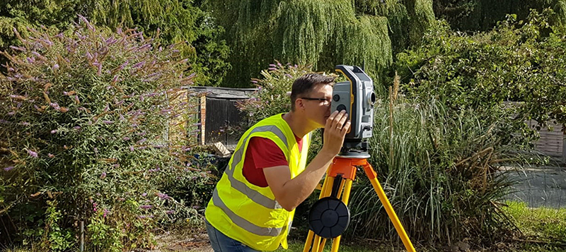
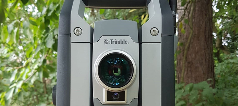
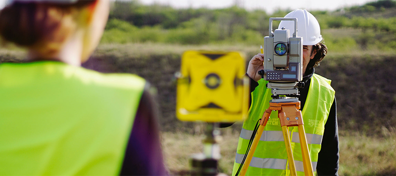
We are pleased to have high specification Trimble equipment and software operated by a very experienced land surveyor fully trained in its use, together with a support team to provide extra man power as needed.
We undertake surveys throughout the UK and our surveyor is based in the Midlands in order to provide an efficient and cost-effective service wherever the need may be.
Services
Standard Topographical Survey Specification at 1:50, 1:100 or 1:200 as appropriate:
All to OS datum via GPS using our high accuracy 3” Trimble equipment. Final plans issued in DWG and PDF format. A hard copy can be provided upon request.
We have assumed that we will have complete and unhindered access to all areas of the site and buildings as and when required.
This approach has been very successful and, as we have gained in experience and diversity, we are able to offer a topographical service to the wider market.
We are pleased to have high specification Trimble equipment and software operated by a very experienced land surveyor fully trained in its use, together with a support team to provide extra man power as needed.
We undertake surveys throughout the UK and our surveyor is based in the Midlands in order to provide an efficient and cost-effective service wherever the need may be.
Services
Standard Topographical Survey Specification at 1:50, 1:100 or 1:200 as appropriate:
- Standard 2D (or 3D, if specified)
- Footprints of all buildings within the site
- All surface types and changes
- Approximate 10m grid of levels in general use areas
- Roads, kerblines and street furniture with levels at 10m intervals
- Levels along all drainage and kerbs and obvious features
- MH covers/service covers/drain covers
- Fences and boundaries heights and types
- Obvious standalone trees (over 150mm diameter) others in general groups
- Overhead cable alignments and levels, if possible
- Eave and ridge levels
- Any significant other features
- Layout plan of all internal rooms
- Location of windows, doors, significant features (chimneys, stairs)
- All floors as separate plans
- Changes to internal levels indicated (i.e step down)
- Doors and window corners and other structural openings
- Eave and ridge levels
- Any significant other features
- Door/ground floor opening threshold levels
All to OS datum via GPS using our high accuracy 3” Trimble equipment. Final plans issued in DWG and PDF format. A hard copy can be provided upon request.
We have assumed that we will have complete and unhindered access to all areas of the site and buildings as and when required.
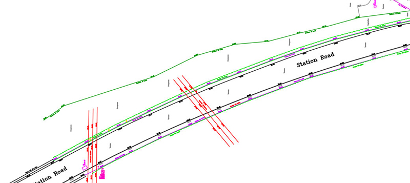
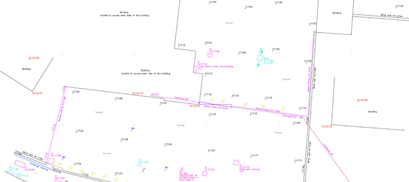
Gallery
Location Map
Stamford Topographical Serves The Following Areas