Address
Trelydia House
Lewannick
Lewannick
Launceston Cornwall
PL157QD
About Preston Engineering Survey Ltd
Surveying and Geomatics
As professional surveyors based near Launceston, on the Cornwall-Devon border, we have been providing high-quality topographical land surveys, level surveys, measured building surveys and construction site setting out in the south west of England for over 15 years.
Land Surveying
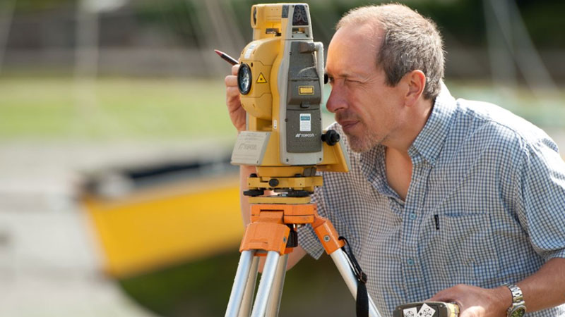
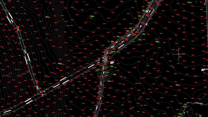
Land surveys are carried out using the latest robotic one-man surveying systems and RTK GPS. Depending on the clients requirement, survey control can be set up either using an arbitrary grid and level benchmark, or referenced to Ordnance Survey National Grid using dual frequency GPS receivers. Surveys pick up the general ground topography together with features such as buildings, walls, fences, roads, paths, vegetation, manhole covers, etc. We work all over the southwest of England, including Cornwall, Devon, Somerset and Dorset.
Land survey applications:
All our measured building surveys are carried out on a fully controlled basis both inside and out using a reflectorless total station theodolite. This allows for a far more accurate survey than when using a laser distance meter or tape measure alone, Taped measurements and field book sketches are used to fill in small details that can't be accessed by the theodolite. The resulting floor plans show floor and ceiling levels, window sill and head heights, overhead structural beams etc. with elevations all relating to a site datum. Digital photography is utilised for building facades which, combined with image rectification software, can achieve a very high degree of elevation detail, if required. The information is presented as a .dwg CAD file with a carefully structured layering system that groups all the elements of the survey in a logical order, making it easy for the end user to access and control the data when doing design work.
Types Of Building
We cover a wide range of different types of building and have successfully completed over 500 of this type of survey to date that include:
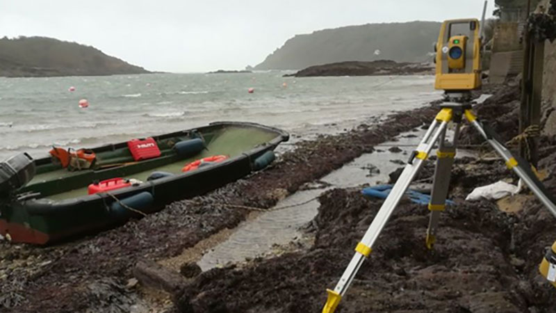
We undertake construction site engineering and setting out work in Cornwall, Devon, Somerset and Dorset from the simple setting out of a small house to major civil engineering projects. By using a combination of the latest robotic surveying equipment backed up by full PC inter-connectivity, it is possible to make a seamless transition from an architects or engineers drawing to the reality on site.
Our experience extends to most areas of Civil Engineering and Building Construction as follows:
Boundary surveys are undertaken in accordance with Land Registry guidelines. General boundary plans are used in the conveyancing process and become one of the title deeds. They are used to register a property with Land Registry, define a boundary line between two plots or sub-divide a single plot. They can also be used to define rights of way and easements over land belonging to others. The plans can be annotated with measurements to the boundary line from existing structures or be related to GPS derived national grid coordinates, if required.
River and Flood Risk Surveys
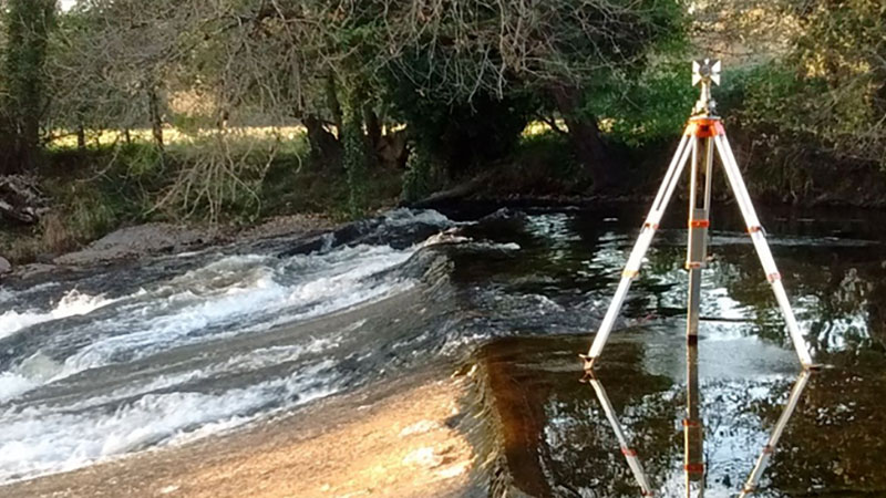
River surveys are commissioned for a number of applications, including the construction of bridges, design of erosion protection and flood risk analysis. This type of work involves surveying of the river banks (top and bottom), riverbed, water levels, flood plains and surrounding topography. The survey information can be presented as a 3d digital terrain model and cross sections through the river can be generated. An accompanying spreadsheet file of coordinated points with chainage along each section can also be produced, if required. This type of survey can be carried out to the Environment Agency specification.
As professional surveyors based near Launceston, on the Cornwall-Devon border, we have been providing high-quality topographical land surveys, level surveys, measured building surveys and construction site setting out in the south west of England for over 15 years.
Land Surveying
Land surveys are carried out using the latest robotic one-man surveying systems and RTK GPS. Depending on the clients requirement, survey control can be set up either using an arbitrary grid and level benchmark, or referenced to Ordnance Survey National Grid using dual frequency GPS receivers. Surveys pick up the general ground topography together with features such as buildings, walls, fences, roads, paths, vegetation, manhole covers, etc. We work all over the southwest of England, including Cornwall, Devon, Somerset and Dorset.
Land survey applications:
- Planning applications
- Engineering or architectural design
- Road re-alignment
- As-constructed drawings
- Quality control
- Earthworks measures
- Ground modelling
- Volume calculations
- Cross sections
- Level surveys
- Land registry determined boundary plans
- River surveys/flood risk analysis
- Landscape architecture
All our measured building surveys are carried out on a fully controlled basis both inside and out using a reflectorless total station theodolite. This allows for a far more accurate survey than when using a laser distance meter or tape measure alone, Taped measurements and field book sketches are used to fill in small details that can't be accessed by the theodolite. The resulting floor plans show floor and ceiling levels, window sill and head heights, overhead structural beams etc. with elevations all relating to a site datum. Digital photography is utilised for building facades which, combined with image rectification software, can achieve a very high degree of elevation detail, if required. The information is presented as a .dwg CAD file with a carefully structured layering system that groups all the elements of the survey in a logical order, making it easy for the end user to access and control the data when doing design work.
Types Of Building
We cover a wide range of different types of building and have successfully completed over 500 of this type of survey to date that include:
- Modern bungalows
- Offices
- Mid-terrace houses
- Chalets
- Estate houses
- Manor houses
- Farmhouses
- Barns
- Derelict buildings
- Churches
- Church towers
- Industrial and commercial buildings
- Listed buildings
- Village halls
- Public monuments
We undertake construction site engineering and setting out work in Cornwall, Devon, Somerset and Dorset from the simple setting out of a small house to major civil engineering projects. By using a combination of the latest robotic surveying equipment backed up by full PC inter-connectivity, it is possible to make a seamless transition from an architects or engineers drawing to the reality on site.
Our experience extends to most areas of Civil Engineering and Building Construction as follows:
- Steel frame buildings
- Concrete frame buildings
- Bulk earthworks
- Drainage/groundworks
- Piling
- Estate roads and public highways
- Private houses
- Water/sewage treatment
- Marine piling and dredging
Boundary surveys are undertaken in accordance with Land Registry guidelines. General boundary plans are used in the conveyancing process and become one of the title deeds. They are used to register a property with Land Registry, define a boundary line between two plots or sub-divide a single plot. They can also be used to define rights of way and easements over land belonging to others. The plans can be annotated with measurements to the boundary line from existing structures or be related to GPS derived national grid coordinates, if required.
River and Flood Risk Surveys
River surveys are commissioned for a number of applications, including the construction of bridges, design of erosion protection and flood risk analysis. This type of work involves surveying of the river banks (top and bottom), riverbed, water levels, flood plains and surrounding topography. The survey information can be presented as a 3d digital terrain model and cross sections through the river can be generated. An accompanying spreadsheet file of coordinated points with chainage along each section can also be produced, if required. This type of survey can be carried out to the Environment Agency specification.
 UK
UK Ireland
 Scotland
 London


