Address
Stable Cottage
Bishopswood
Bishopswood
Ross-On-Wye
HR9 5QY
England UK
About Aeroviews
Aeroviews, founded in 2015, offers businesses throughout the UK access to expert aerial drone photography, drone filming, and time-lapse video services. Our broad range of services cater to diverse industries.
Safety
Aeroviews® is a supplier of drone filming and drone photography imagery with the necessary permission from the CAA
Communication
Our expertise lies in actively listening to our clients' needs and diligently working towards delivering precisely what is required.
Eye for Detail
Taking a good aerial photograph or video involves more than just having a drone
The Complete Package
We are experienced at using our drone equipment, time-lapse and the best multimedia software.
Providing A Great Service You Can Trust
We tailor our services to suit our clients' needs and surpass their expectations. Our approach involves attentive listening, continual learning, and decisive action. Through this process, we transform our offerings into a superior product that fully satisfies our clients' requirements and delivers added value.
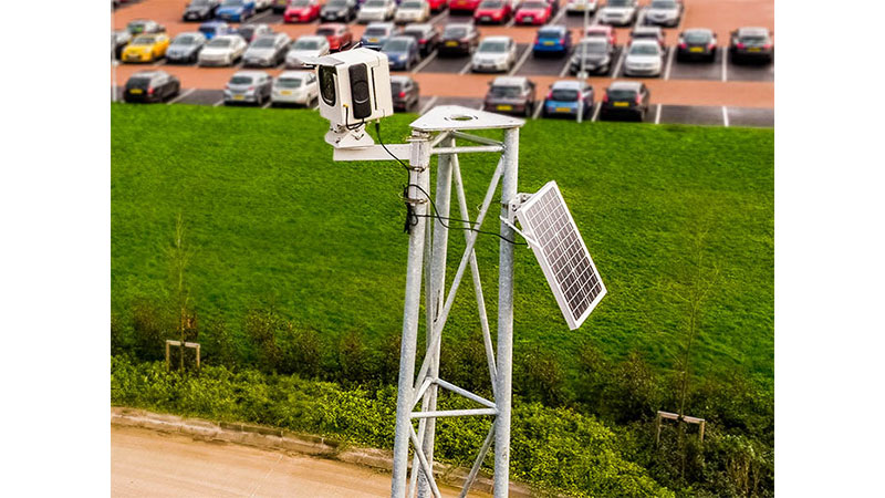
Time-lapse photography and Time-lapse video
If an object undergoes some kind of change over time, a time-lapse video will always be intriguing, and for some content even mesmerising, as we witness in a short space of time changes that can often be overlooked, or not appreciated due to the slow pace.
360 Aerial Drone Tours
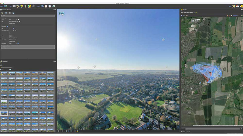
By rotating the camera on its axis and taking various photographs in series we can capture vast areas and also create immersive drone 360 tours and panoramas…
About The Conference
We provide fantastic high definition 360 tours with both drone photography and ground photography. These are fantastic ways to showcase an area in its entirety.
The 360 tours can immerse the viewer into the location by adding points of interest, zoom points, additional 360 tours at points of interest, videos etc. These are great dynamic images to showcase a project in as many dimensions as we can possibly imagine.
Periodic Drone Surveys
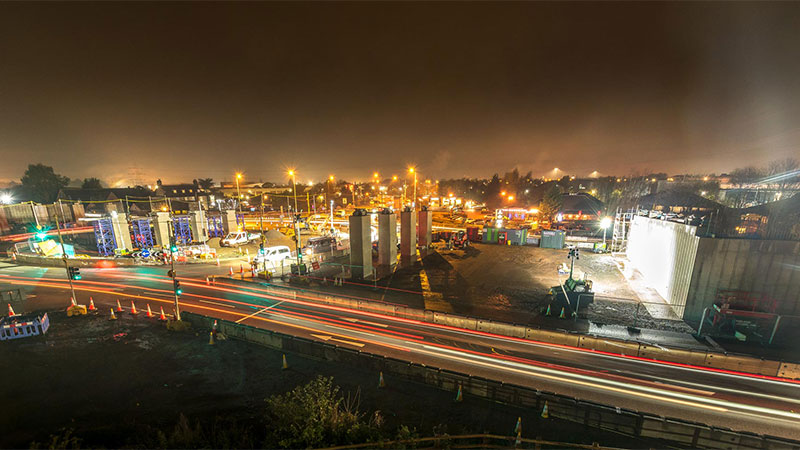
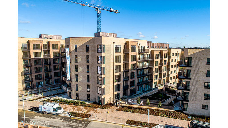
Periodic drone surveys are all about conducting routine aerial assessments of a construction site, generally on a monthly basis, but other frequencies are often also requested. It’s like having a high-tech bird that frequently perches above your site, keeping a watchful eye on operations. With this rich flow of visual data in real-time, drone surveys act as an early warning system, spotting issues in the bud before they grow into serious challenges. It’s about going from reactive problem-solving to proactive management. Imagine construction managers making crucial decisions based on this insightful data, leading to enhanced productivity and minimized risk.
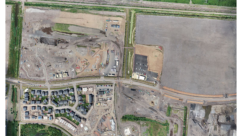
Drone Mapping for Construction and Development
The construction industry has greatly benefitted from the utility of drones. Drones have the unique ability to capture construction sites from a height that is otherwise challenging to achieve using conventional means. Additionally, they have proven to be valuable tools for conducting surveys and creating maps.
Drone Filming | Aerial Filming
Drones make aerial filming approachable and can also be advantageous: Practical and agile, drones are a lot quicker to set up, and more flexible than cranes and can capture scenes a lot lower and closer than helicopters can.
They get into those spaces that before were impossible to get to, adding that extra dimension to the production which helps draw the viewer into the footage. Drones are even changing the way Directors work and see filming so much is their influence today in television.
Drone Photography | Aerial Photography
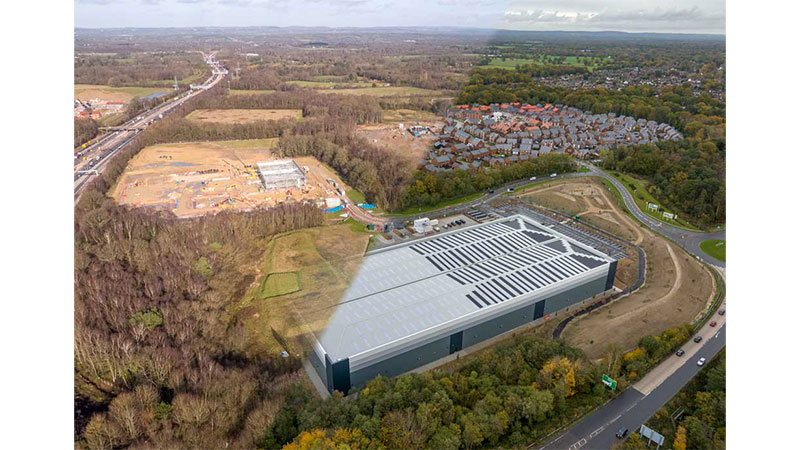
Using drones for aerial photography can produce stunning visuals that are perfect for surveys, mapping, and promotional materials across a wide range of industries. The technology and camera capabilities of these devices have rapidly advanced, allowing for even higher quality images and greater versatility in their applications.
 UK
UK Ireland
 Scotland
 London

