Time and date
CONSTRUCTION DIRECTORY
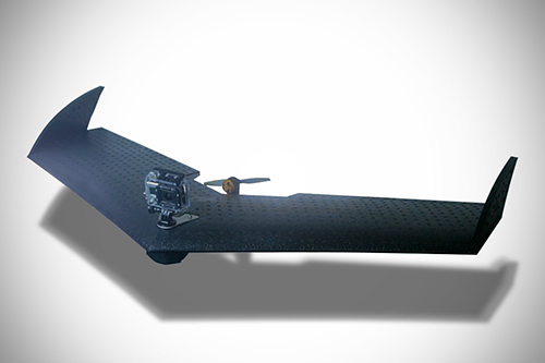
Geo-4D UAV
Geo-4D UAV conducts aerial photography and mapping for construction, aggregates, minerals, mining and agriculture, providing photography, 3D terrain modelling and volumetrics, agricultural crop health mapping and construction site development survey.
LA300 UAV - Aerial Surveying and Mapping

LA300 UAV - Aerial Surveying and Mapping
- Fully Autonomous
- Lightweight
- Up to 60km/h flight speed
- Fly in up to 35km/hr Winds
- Up to 45 min flight time
- Bespoke professional flight planning software
- Up to 2 cameras (Vertically mounted multispectral/photography plus forward facing video)
- Altitudes up to 3000m
- Map 80 - 100ha in a single flight
- Starting at £2,059


